Vintage 1950s Black & White Aerial Photo of Rural Farm Landscape
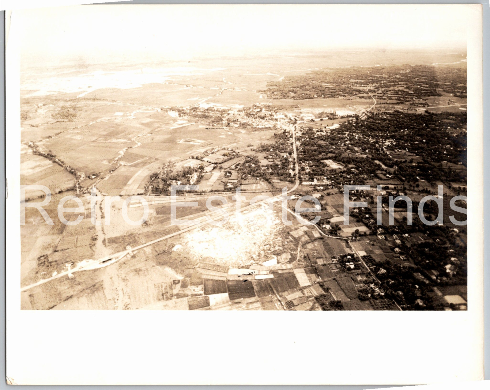
📸 Click any thumbnail to inspect Front, Back & Angles (2 Photos)
As an eBay Partner, we may earn a commission if you make a purchase.
Item Specifications
- Type: Aerial Photograph
- Era: 1950s
- Subject: Rural Landscape & Farmland
- Medium: Black & White Silver Gelatin
- Originality: Original Vintage Photography
- Condition: Unmounted Original
- Category: Vintage Photography
- Format / Type: Snapshots
Looking for Modern Alternatives?
Explore top-rated, modern Vintage Photography and related historical accessories on Amazon.
Shop Vintage Photography on Amazon →As an Amazon Associate, we earn from qualifying purchases.
Historical Context & Overview
Mid-Century Rural America Captured from Above
In the decade following World War II, aerial photography experienced a surge in popularity across the United States and abroad. Advances in aviation technology, coupled with post-war agricultural surveys and municipal expansion, allowed photographers to document the changing countryside from unprecedented vantage points. This vintage 8x10 black and white aerial photograph provides a fascinating high-altitude snapshot of mid-20th-century rural life, capturing a vast tapestry of cultivated farm fields, winding country roads, and a tightly knit small town nestled among mature tree canopies.
The Golden Age of Vernacular Aerial Surveying
During the 1950s, aerial imaging served a dual purpose: practical land management and artistic estate documentation. Government agencies like the United States Department of Agriculture regularly commissioned aerial surveys to assess crop yields, soil conservation efforts, and property boundaries. Simultaneously, freelance aviator-photographers frequently offered local farmers, municipal planning boards, and business owners custom elevated portraits of their landholdings. Taken from a light aircraft at moderate altitude, prints like this captured the geometric precision of mid-century agricultural practices. The contrasting geometric blocks of tilled earth, crop rows, and wooded borders demonstrate how rural communities balanced natural topography with intensive cultivation prior to the rapid suburbanization of the late 20th century.
A Window into Mid-Century Infrastructure and Geography
A closer examination of this 8x10 print reveals rich historical details. Linear roadways cut through the landscape, linking isolated farmsteads to the central commercial and residential hub visible near the top-center of the image. The high contrast of the silver gelatin medium highlights the varying textures of plowed fields, irrigation pathways, timber lots, and residential roofs. Noticeable too is the density of tree cover surrounding the town center, typical of older rural settlements built along river basins or natural transport corridors.
Preserving Vernacular Photography and Agrarian History
Original 8x10 monochrome aerial prints from the 1950s hold significant appeal for historians, cartography enthusiasts, and fine art collectors alike. Beyond their decorative aesthetic, these physical snapshots serve as primary source documents reflecting land use patterns, historic road routes, and community layouts before modern developments altered the countryside. Preserved on original photo paper, this piece stands as a compelling testament to mid-century rural geography and the enduring art of aerial documentary photography.